


I feel like the wrong waterway gets hyped here in Oregon. Forget the coast, dudes. The rivers are where it's happening!

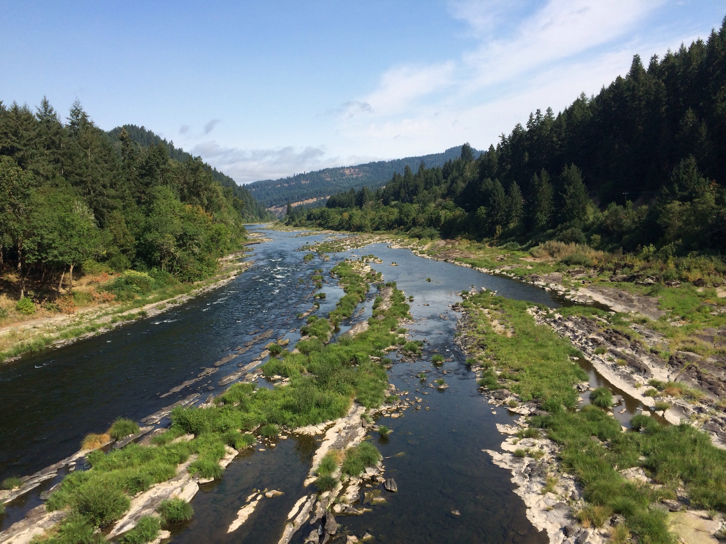
We continued traveling up the Umpqua River today, with slight hopes of completing another 70 miles on our way to Crater Lake, but those hopes were quickly dashed by lunchtime. Though traffic did pick up to about a three cars an hour, the road we followed did not inspire rapidity. It was rolling, winding, treelined, canopied, full of wildlife, and it followed a beautiful river. I was certainly in no hurry.
We stopped for lunch at a county riverside park that was perfectly situated for swimming. The river's sandstone rocks were exposed on the shore, and the current wasn't too swift. And it was hot. Boiling for Oregon, but a nice May afternoon for Floridians. The water was cold, but warmer than Florida springs. The rocks were heated by the sun. It was amazing.

There was a breeze, but not enough to make me want to find a wind shelter. I saw zero signs warning me to never turn my back on the river. I did not encounter any killer logs floating downstream that could possibly kill me. River: 3, Pacific: 0. So if I ever buy a summer home in Oregon, it won't be on the coast. It will be along the river.

Following the Umpqua River has turned out to be the best decision of the trip so far. Big conifers line the river, and the water changes from clear, blue green deep spots so still you can see the rocky bottom, to fast moving aqua rapids tumbling between green mossy boulders. Meanwhile there are still hardly any cars, but there's enough civilization to refill our water bottles when they get empty.

As we increase elevation, the landscape becomes craggier, with big notched boulders flanking the highway, and taller and taller trees. The river water has become much colder as we get closer to its source, Diamond Lake. And we're just about halfway to our real destination- just 4500 more feet of elevation till Crater Lake.